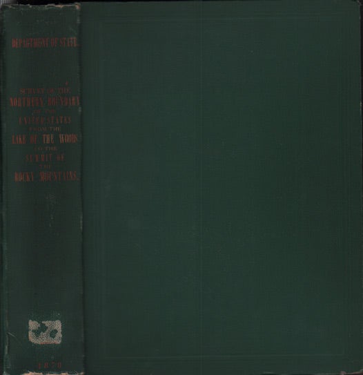
Reports upon the Survey of the Boundary between the Territory of the United States and the Possessions of Great Britain from the Lake of the Woods to the Summit of the Rocky Mountains
Washington: Government Printing Office, 1878. First edition. 624pp. Quarto [30.5 cm] Original green pebbled cloth with the title gilt stamped on the backstrip. Very good. Ex institutional library with very few marks (small amount of glue residue at the foot of the backstrip, blind stipple stamp on the title page) front and rear hinge going. Illustrated with fifteen beautiful tinted full-page engravings by the firm of T. Sinclair and Son. These plates show landscapes (including the Badlands), Northern Great Plain Indians (Ojibway,Sioux and Assinniboine) and members of the survey. Seven fold-out maps (six at the rear and one internal), fold-out profile of the Lake in the Woods and six large diagrams. Numerous tables throughout. Item #37177
According to Wheat: "The survey of the international boundary along the 49th parallel, from Lake of the Woods to the summit of the Rocky Mountains, had still to be completed. Pursuant to an act of Congress approved March 19, 1872, a new boundary commission took the field at Pembina [Minnesota] on September 1, 1872. Archibald Campbell was again commissioner and the chief astronomer was originally Major F.M. Farquhar, later Captain W.J. Twining, both of the Corps of Engineers. In cooperation with a British commission, work was pursued from 1872 to 1875. The last astronomical station was established at "Chief Mountain Lake" in 1875." This was the final section of the American/Canadian border to be determined. Wheat 12898.
Price: $700.00
