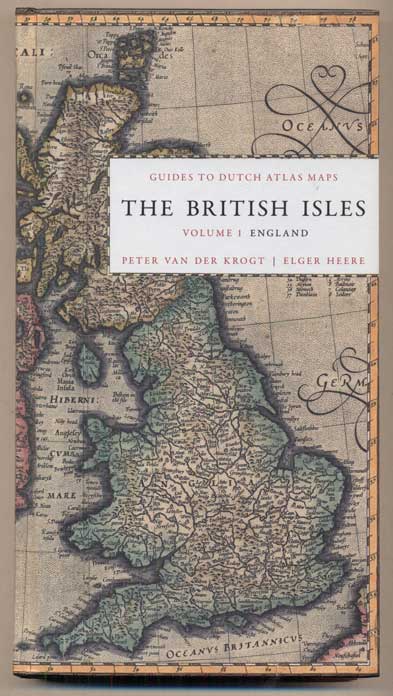
The British Isles, Volume 1: England. Guide to Dutch Atlas Maps I
Houten (Netherlands) and New Castle (Delaware): Hes & De Graaf Publishers; Oak Knoll Press, 2012. First edition. Hardcover. 255pp. Octavo [24.5 cm] Pictorial paper over boards. As new. Item #47207
ISBN: 9789061943907
A pocket reference guide offering a descriptive catalogue of all the maps of England, and specific parts of the country, published in Dutch atlases between 1570 and 1650. Each map found in the atlases of Ortelius, Mercator-Hondius, Janssonius, and Blaeu is recorded.
Price: $75.00
See all items in
Reference
See all items by Peter Van der Krogt, Elger Heere
