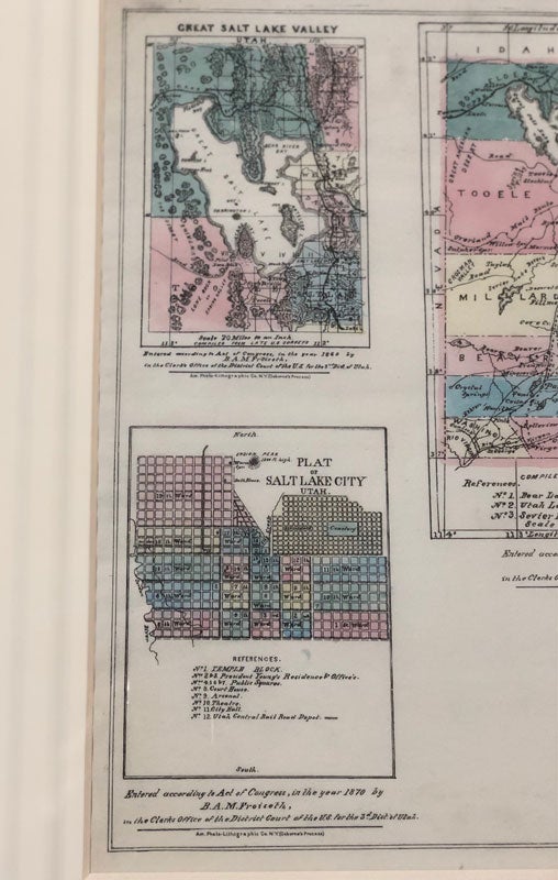
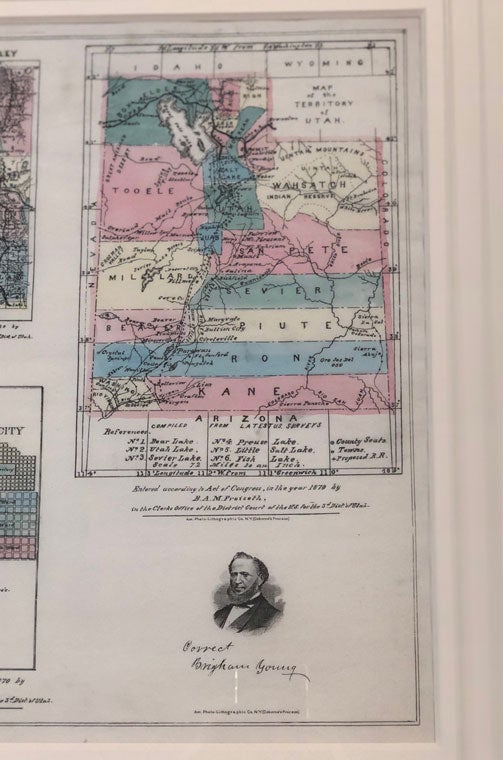
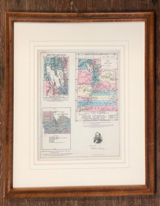
Map of the Territory of Utah
New York: Am. Photo-Lithographic Co (Osborne's Process), 1870. 12 3/4" x 15 1/4" [23" x 25 3/4" in mat and frame]. No pocket. With several small tears to the edges, and several minuscule pinhole-size tears to the surface. The fold lines are faintly visible. Very good. Item #55921
A strikingly bright colored map showing 3 views: "Great Salt Lake Valley, Utah"; "Plat of Salt Lake City, Utah"; "Map of the Territory of Utah." An image of Brigham Young above the statement, "Correct Brigham Young," is reproduced in the lower right corner. Moffat 100. Wheat 1213. Carl Wheat refers to Bernard Froiseth, in Mapping the Transmississippi West, as "Utah's first indigenous cartographer of stature." Interestingly, in this map, "Fort Roubedon" is shown at the confluence of the Green and White Rivers. Wheat says of this map, that it "is of simple outline character, showing counties, principal settlements, emigrant roads, and railroads constructed and proposed."
Price: $2,000.00