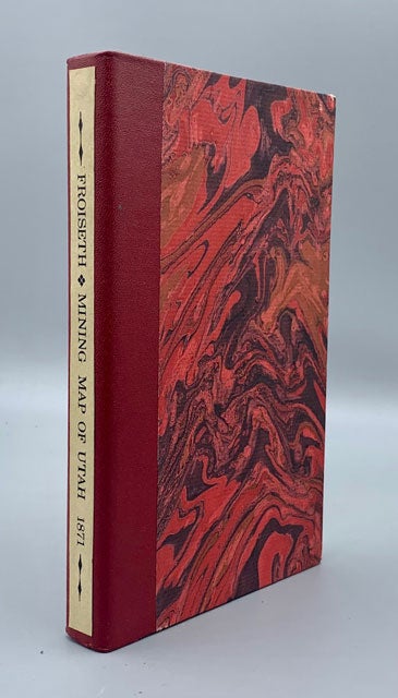
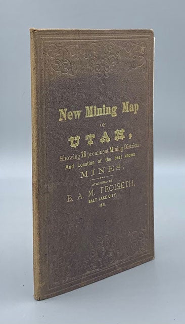
New Mining Map of Utah Showing the location of the Mining Districts over an extent of Territory 150 miles from North to South Compiled from U. S. Government Surveys and Other Authentic sources. By B. A. M. Froiseth Aided by H. R. Durkee
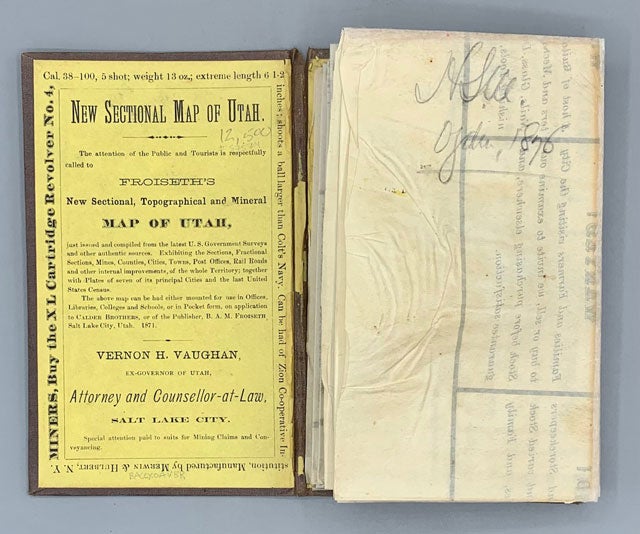
Salt Lake City, UT: 1871. Map. Color pocket map [22.4 x 38 inches] which folds into brown cloth boards, titled in gilt on the front board, and with decorative embossing on both boards. With sunning to the spine, and a bit around the edges. There is a small stain on the rear board, measuring roughly 1" in diameter. Splits along the folds have been professionally and skillfully backed with Japanese tissue. The title on the cover reads, "New mining Map of Utah, Showing 28 prominent Mining Districts And Location of the best known Mines." Pencil name of H. Sill, Ogden, 1876, on the back of the map. In a custom slipcase. Very good. Item #57574
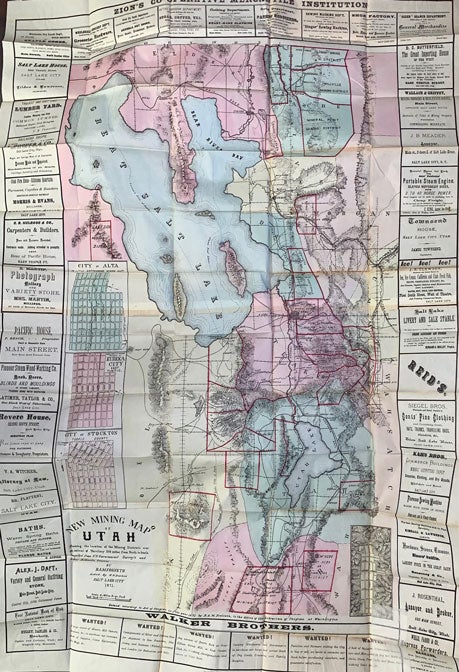
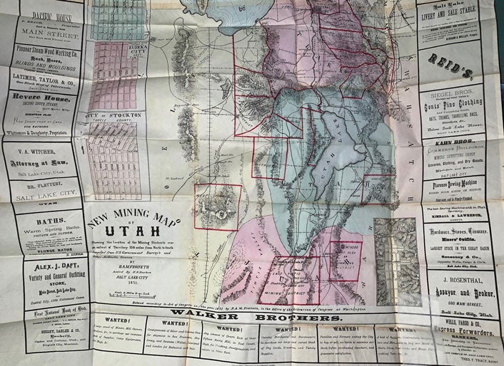
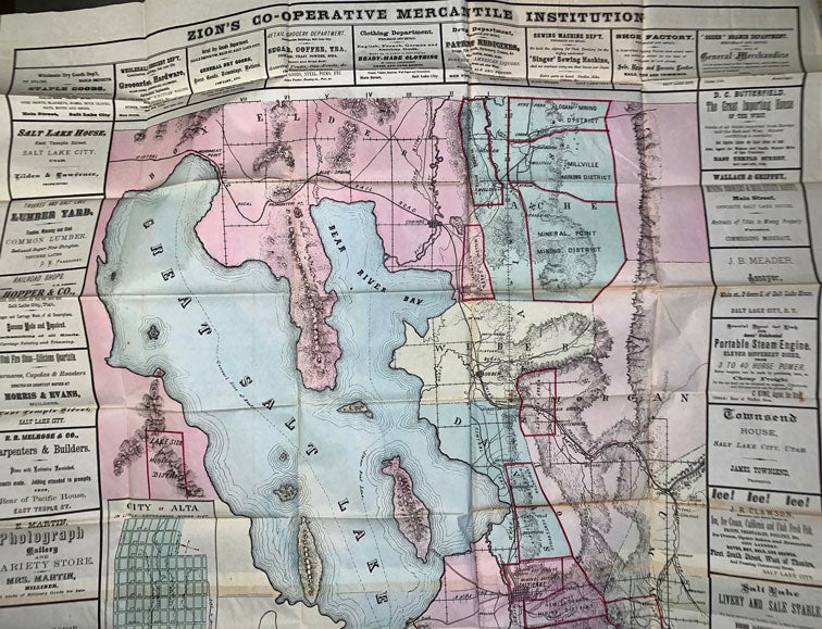
A rare map of the mining regions surrounding the Great Salt Lake bordered with bold advertisements. Printed at the head of the map: "Zion's Co-operative Mercantile Institution." Zion's Cooperative Mercantile Institution (ZCMI), founded by Brigham Young on October 9, 1868, was the first department store in the United States.
This scarce map of northern Utah is dominated by a bulging Great Salt Lake, with Utah Lake and adjacent areas. In addition, the various mining districts (28 depicted) are bordered in red and named. Furthermore, the map contains four inset city/town plans, showing: Ophir, Alta, Eureka City, Stockton.
The surrounding advertisements, for all sorts of business, hotels, boarding houses, etc, are instructive and entertaining in themselves.
Moffat 110. Wheat 1223.
Price: $12,500.00