

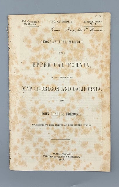
Geographical Memoir upon Upper California, in Illustration of his Map of Oregon and California: Addressed to the Senate of the United States
Washington DC: Tippen & Streeper, 1849; 1848. House of Representatives 30th Congress, 2nd Session. Miscellaneous. No. 5. 40pp. Octavo [21.5 cm] Previously bound with other material. Foxing to cover. Preuss's (1848, Senate) map present with restoration. Item #56829
The report of this third expedition of Fremont is uncharastically short, due to Fremont's court martial and resignation from military service. Nevertheless, it enjoyed great popularity since the discovery of gold was announced almost simultaneously with its publication. In fact, it is likely that the "El Dorado Gold Region" labels on the map were added at the very last moment before issue.
The Preuss map contained here is one of the greatest cartographic achievements of the American West and helped to fill in the great unknown of the Great Basin and points farther West. According to Wheat "they constitute the only detailed reports ever made by Fremont on his expedition of 1845-1846; his journals subsequently were burned, and by the time he came to write his Memoirs he had forgotten nearly everything he did not remember incorrectly."
The Preuss map also was the first to show the Mormon Zion (albeit wrong - the map shows the Mormon settlement at the northern shore of Utah Lake) and the first to use the name 'Golden Gate' in reference to the San Francisco Bay.
Fremont described the work as follows: "The map has been constructed expressly to exhibit the two countries of Oregon and the Alta California together. It is believed to be the most correct that has appeared of either of them; and it is certainly the only one that shows the structure and configuration of the interior of Upper California." With this great map of 1848, John Charles Fremont passes from the Western cartographic scene. Wagner-Camp 150:2. Howes F368.
Price: $2,000.00