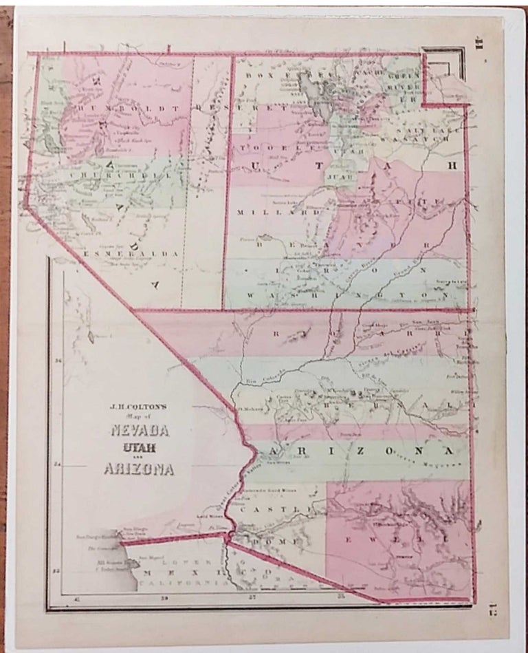
Map of Nevada, Utah and Arizona
New York: J. H. Colton, 1865. From Colton's Condensed Octavo Atlas of the Union. 10 3/4" x 8 1/2". Lithograph. Original hand color. Very good. Item #57663
An unusual small map of the three territories by one of the chief map publishers of the middle of the nineteenth century, J. H. Colton. Colton's firm, out of New York, published folding and wall maps, and starting in 1855, a series of folio atlases. Following the Civil War, Colton issued his Octavo Atlas of the Union. The maps preserved Colton's meticulous detail and attractive coloring. Included are rivers, mountains, lakes, and many of the large and small settlements.
This map depicts these territories during an interesting period. Nevada was created just four years earlier, and Arizona two years before. Nevada was created as a result of the gold and silver rush on the eastern slope of the Sierra Nevadas, an area well represented on this map. The original border with Utah was the 116th meridian, but in 1862 the border was moved one degree east. That border is shown on this map, with a dotted line designating the original border. This is somewhat out of date as just the year before this map was published, the border had been moved another degree east. The border for Nevada would be changed again in 1867, with the western-most part of Arizona became the southern-most part of Nevada.
In addition, this map is also interesting for the trails and routes it depicts. Early trading and explorer routes are noted, as is the Pony Express route across Utah and Nevada. The year this map was issued, the first spike was driven at Omaha for the first trans-continental railroad, the route for which through Nevada and Utah is also shown on this map.
Price: $250.00
